

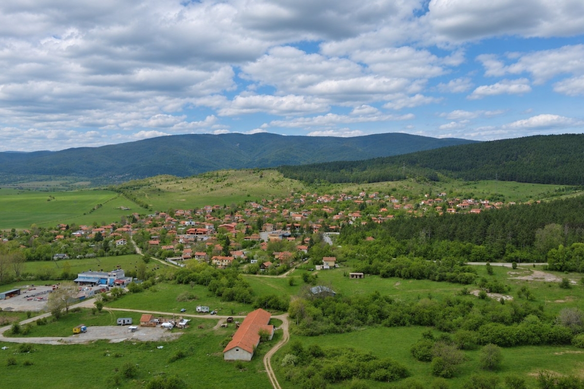
Western part of Sarantsi village
Sarantsi – Hills towards Osoitsa – Sarantsi Route
A short loop from Sarantsi into the hills towards Osoitsa, combining a climb beside woodland with a return through open farmland south of the village.
Key data
Route overview
- Distance
- 5.6 km
- Duration
- 1 h 45 min
- Ascent
- 180 m
- Descent
- 191 m
- Starting elevation
- 642 m
- Minimum elevation
- 627 m
- Maximum elevation
- 735 m
GPX track
Route map
Loading route…
Elevation profile
The GPX file does not contain enough elevation data.
About the route
Description
This short loop explores the hills between Sarantsi and Osoitsa. Sarantsi lies to the east and southeast, with Osoitsa to its northwest. The outward climb follows the forest belt; the return crosses open country south of Osoitsa.
Start in western Sarantsi, head north along the village edge, then turn northwest uphill. Most of the ascent comes in the first 1.2 km, reaching the highest recorded point at about 735 m. Continue west and northwest beside the wooded slope, with short climbs and descents but an overall loss of height. Osoitsa stays to the north: the track passes south of it without entering the village.
Around halfway, turn south into farmland, cross another short climb, then head southeast. The forest recedes as the route returns across fields. The final section heads northeast, then southeast along the village outskirts, closing the loop near the start. Allow about 1½–2 hours walking: several climbs add variety despite the short distance.
A separate visit to Osoitsa can include the Ascension of Christ Church and the former school with its clock tower. These sights are in the village, outside the circular track.
🧭 Technical details
📍 Start: Western part of Sarantsi village
🏁 Finish: Western part of Sarantsi village
📏 Distance: About 5.63 km
🏔️ Starting elevation: About 642 m recorded
⛰️ Maximum elevation: About 735 m recorded
📈 Ascent: Approximately 180 m
📉 Descent: Approximately 191 m
🛤️ Route type: Circular
⭐ Difficulty: Approximately easy to moderate; a short walk with several climbs
⏱️ Estimated time: Approximately 1½–2 hours on foot
🥾 Suitable for: Hiking; cycling suitability depends on field-track conditions
🌿 Best season: Spring and autumn; cooler hours in summer
This post is also available in:


