
Getting here
Road connections and access to the municipality’s villages.
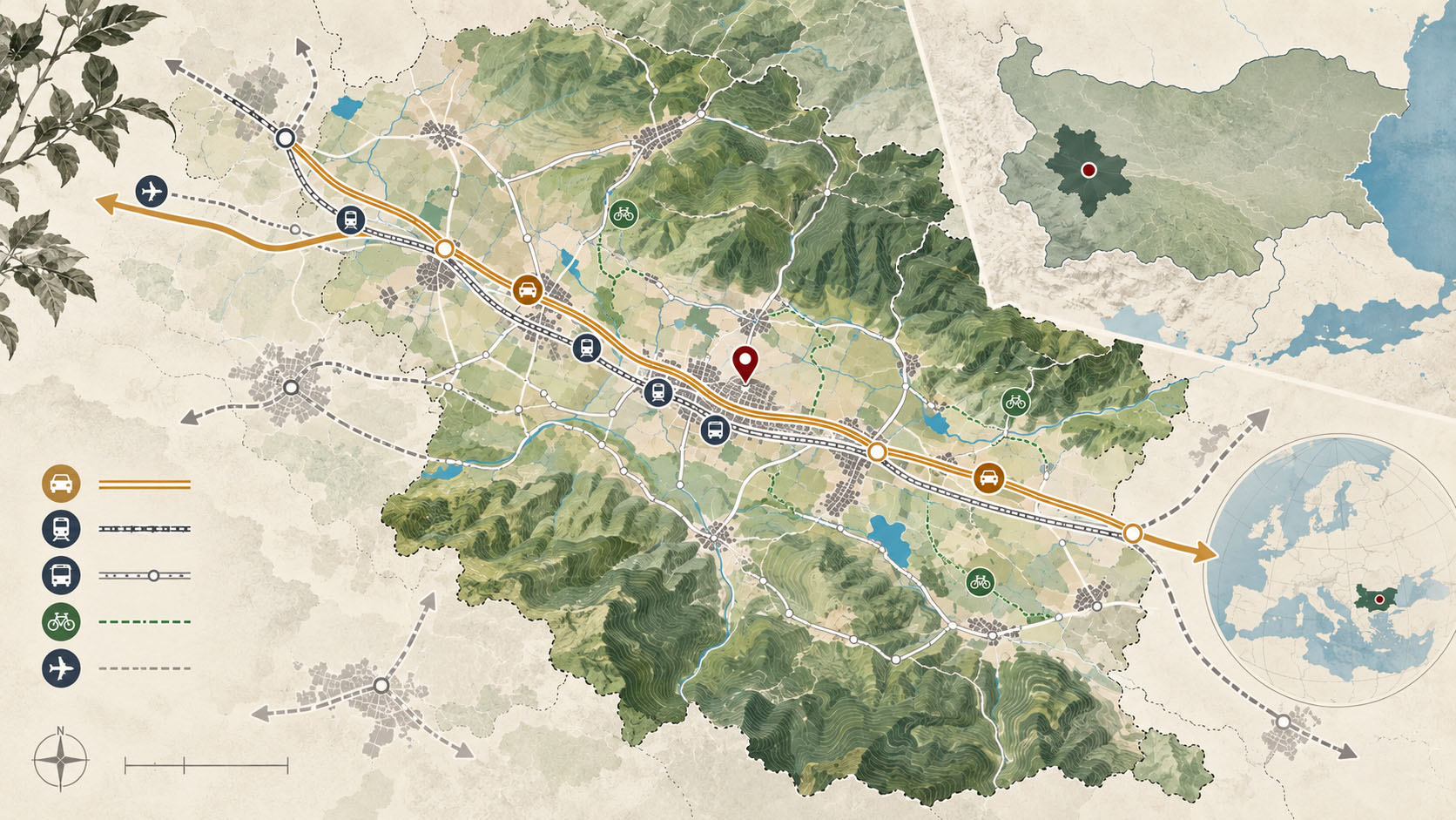
Gorna Malina Municipality is close to two of Bulgaria’s main transport corridors: the Hemus motorway, 15 km away, and the Trakia motorway, 25 km away. National Road No. 6, Sofia–Burgas, also known as the Sub-Balkan Road, passes through the municipality. Branch roads through the Vitinya and Arabakonak passes provide connections to the Hemus motorway and northern Bulgaria. The stretch of the Sub-Balkan Road within the municipality was renovated in 2011–2012 as part of the Sofia–Gorna Malina–Pirdop section.
Road network
The national road network within the municipality has a total length of 114 km, divided as follows:
- Class I roads: 21.0 km.
- Class III roads: 30.2 km.
- Class IV roads: 62.8 km.
Most roads connecting the villages are fourth-class roads, with a total length of 62.8 km, apart from two sections of third-class roads totalling approximately 30 km. The municipal road network provides access to all settlements.
A particularly scenic route follows Road III-6004: Gorna Malina–Baylovo–Kalugeritsa locality–Monastery Caves–Smolsko–Chelopech–Pirdop. Travellers using Road III-6004 avoid the sharp bends and significant changes in elevation along the Galabets section of the first-class Sub-Balkan Road E-871.
Rail transport
The Sofia–Burgas railway crosses the municipality for approximately 24 km. Passenger trains stop at Gorna Malina, Negushevo, Sarantsi, Chekanchevo, Makotsevo and Dolno Kamartsi. The Bulgarian municipal information describes around ten trains a day towards Sofia and Karlovo, with a timetable and journey times that favour bus or private transport for daily commuting. Check current services and departure times before travelling.
This post is also available in:


