

Tourist route
Arabakonak Pass – Zvezdets Peak Route
The route starts at historic Arabakonak Pass in the Western Balkan Mountains, known for its nature and its role in Bulgarian history, including the Arabakonak robbery and the struggle for national liberation.Wide forest roads…
Key data
Route overview
- Distance
- 13.8 km
- Ascent
- 430 m
- Descent
- 409 m
- Starting elevation
- 963 m
- Minimum elevation
- 962 m
- Maximum elevation
- 1,343 m
GPX track
Route map
Loading route…
Elevation profile
The GPX file does not contain enough elevation data.
About the route
Description
The route starts at historic Arabakonak Pass in the Western Balkan Mountains, known for its nature and its role in Bulgarian history, including the Arabakonak robbery and the struggle for national liberation.
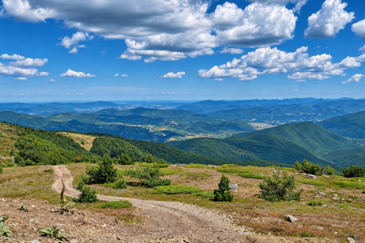
Wide forest roads enter cool beech and mixed woodland with a gentle, steady climb. The even gradient allows walking or mountain biking. As the forest thins, views open towards the Balkan ridge, surrounding peaks and wooded slopes; the area offers quiet, fresh air and rich biodiversity.
Higher up, open sections provide broad panoramas of the western Balkan Mountains. The route’s highest section is described as the Zvezdets area, with far-reaching views in clear weather. Forest stretches, moderate physical effort and mountain scenery suit a day hike or MTB outing.
🧭 Technical details
📍 Start: Arabakonak Pass
🏁 Finish: Zvezdets Peak
📏 Distance: About 13.81 km
🏔️ Starting elevation: About 962 m
⛰️ Maximum elevation: About 1343 m
📈 Ascent: About 463 m
📉 Descent: About 437 m
🛤️ Route type: Linear
⭐ Difficulty: Moderate
⏱️ Estimated time: About 4 hours on foot or 1½ hours by mountain bike
🥾 Suitable for: Hiking, mountain biking and mountain enthusiasts
🌿 Best season: Spring, summer and autumn
This post is also available in:


